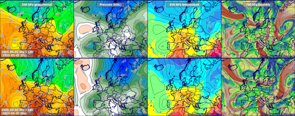
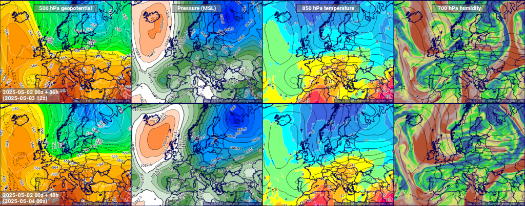
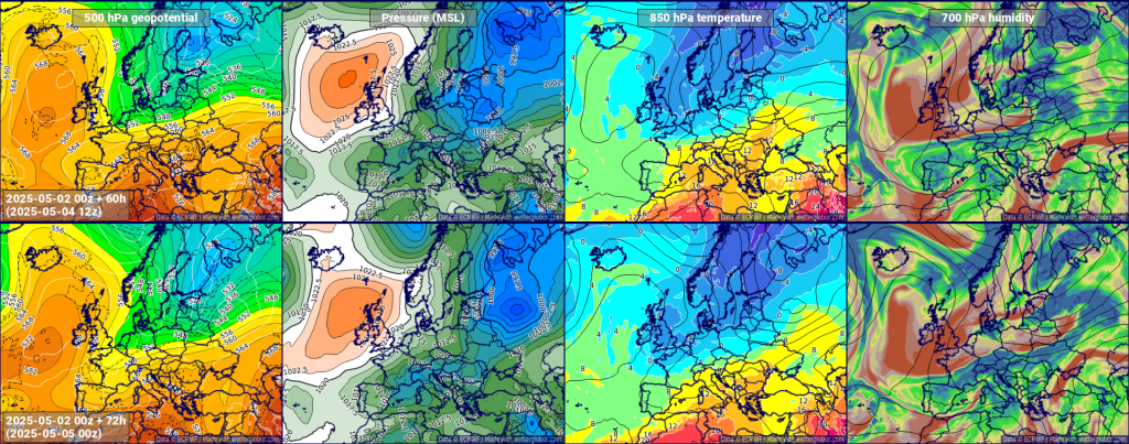
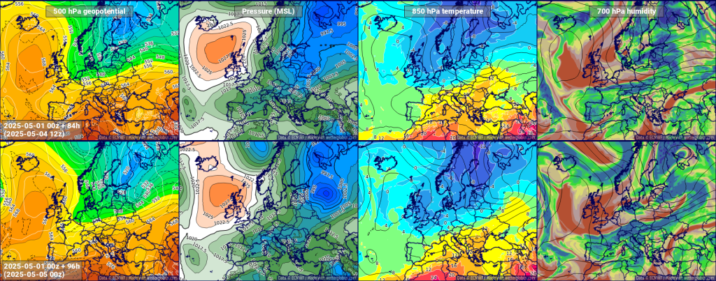
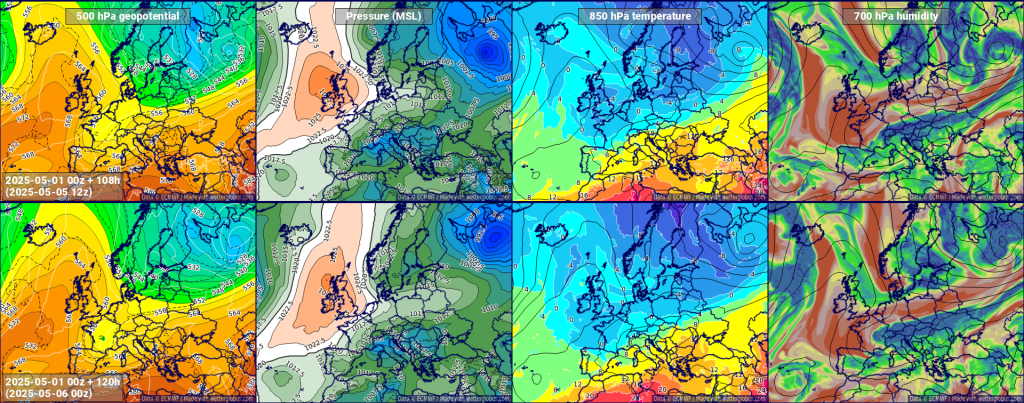
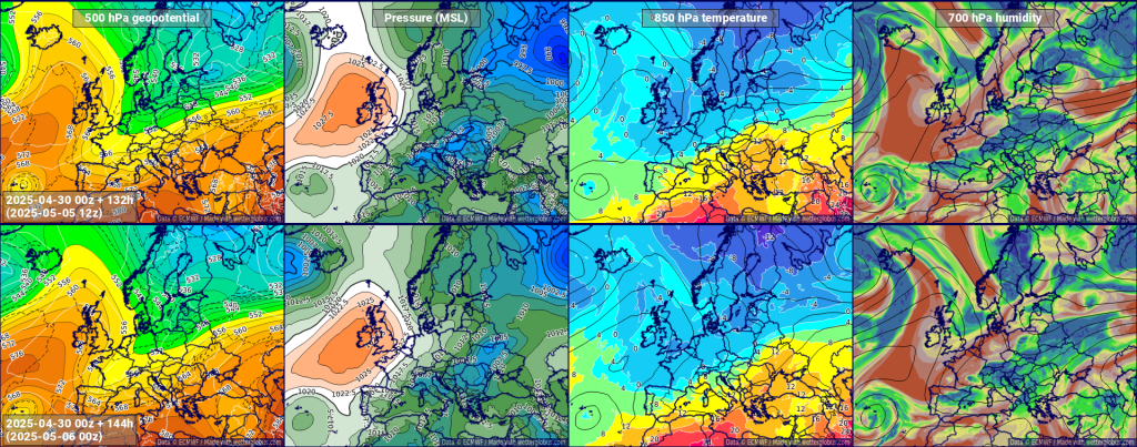
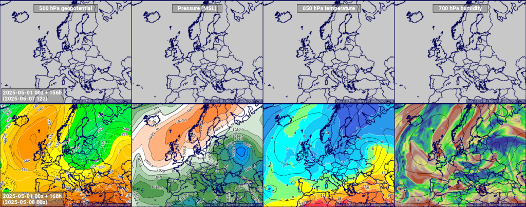
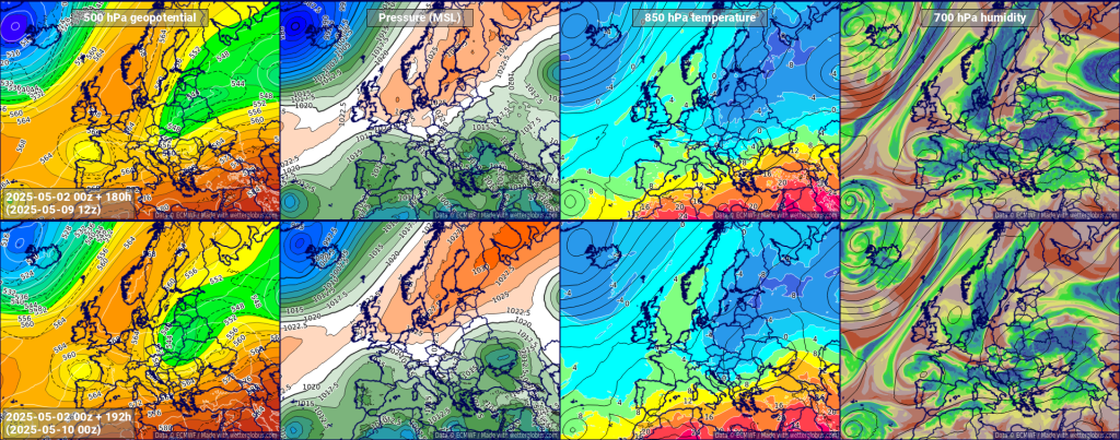
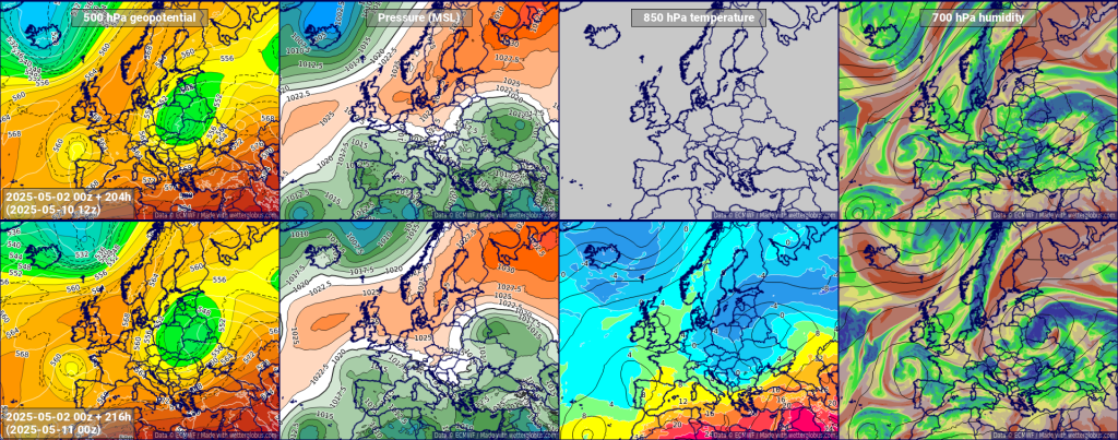
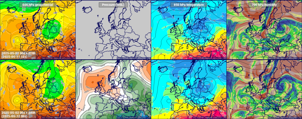
We are showing here some actual examples of output from our Weatherglobe system. Click on the gallery to enlarge the images.
ECMWF forecasts for the next 10 days
The selection of parameters is often used by meteorologists to understand the evolution of synopic scale weather patterns over the course of the forecast horizon.
500 hPa geopotential
The 500 hPa geopotential height is a meteorological parameter used to assess the atmospheric height at the 500-hectopascal pressure level in the atmosphere. Geopotential height represents the hypothetical height of a pressure surface above sea level and is measured in geopotential meters. The 500 hPa level is often used in weather analysis and forecasting because it typically occurs at an altitude where the atmosphere is in a dynamic balance. Changes in the 500 hPa geopotential height can indicate the presence of weather systems, such as high and low-pressure systems, and provide valuable information for understanding atmospheric circulation patterns, jet stream locations, and potential weather developments. It serves as a key tool for meteorologists in predicting and analyzing weather patterns on a synoptic scale.
Pressure (MSL)
Mean sea level pressure (MSLP) is a metric used in meteorology to describe the atmospheric pressure at sea level. This measurement provides a standardized way to compare and analyze air pressure variations at different locations, accounting for the influence of altitude.
Meteorologists use mean sea level pressure as a reference point because it allows for consistent comparisons and eliminates the impact of elevation on pressure readings. MSLP values are crucial in weather forecasting and analysis, serving as a key indicator of atmospheric conditions. High MSLP is associated with areas of high pressure, often indicating fair weather, while low MSLP is linked to low-pressure systems and the likelihood of unsettled or stormy conditions. Monitoring changes in mean sea level pressure helps meteorologists track the development and movement of weather systems, contributing to accurate and reliable weather predictions.
850 hPa temperature
The 850 hPa temperature refers to the air temperature at the 850-hectopascal pressure level in the atmosphere. This specific pressure level is commonly used in meteorology for weather analysis and forecasting. The 850 hPa level is situated above the Earth’s surface at an altitude that varies with the local atmospheric conditions but is typically around 1,500 meters above sea level.
Meteorologists use the 850 hPa temperature to examine the temperature patterns in the atmosphere, especially in the mid-levels. This information is valuable for understanding the thermal structure of the atmosphere and can indicate the presence of different air masses, frontal boundaries, and potential weather changes. Changes in the 850 hPa temperature can influence surface temperatures and weather conditions, making it a useful parameter for forecasting and analyzing temperature-related aspects of the atmosphere.
700 hPa humidity
The 700 hPa relative humidity refers to the relative humidity of the air at the 700-hectopascal pressure level in the atmosphere. Relative humidity is a measure of the amount of water vapor present in the air compared to the maximum amount the air could hold at a specific temperature.
At the 700 hPa level, which is typically found in the mid-levels of the atmosphere, meteorologists analyze relative humidity to understand moisture distribution and atmospheric conditions. High relative humidity at this level suggests the presence of moist air, which can contribute to the development of clouds and precipitation. Conversely, low relative humidity indicates drier air.
Monitoring changes in 700 hPa relative humidity is crucial for weather forecasting as it provides insights into the potential for cloud formation, precipitation, and the overall atmospheric moisture content. This information aids meteorologists in predicting and understanding weather patterns and is an important component of comprehensive weather analysis.

